
The Best Walks In and Around Shaftesbury
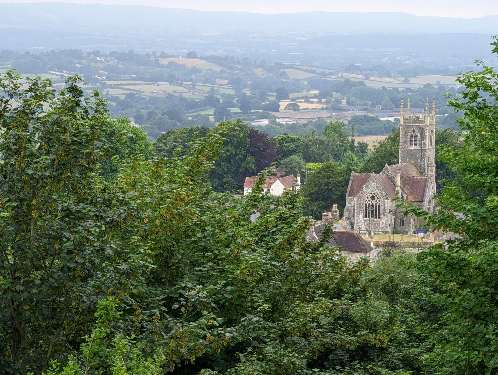
Shaftesbury sits on a greensand plateau 200 metres above sea level, and almost every walk that starts here earns you a view. To the south, the Blackmore Vale rolls out toward Blandford Forum. To the north, Wiltshire and Somerset open up beyond Gillingham. To the east, the great chalk ridge of Cranborne Chase rises and falls toward Win Green, the highest point in the national landscape. And everywhere you look there is history: an Iron Age hilltop, a medieval abbey, an ancient drove road worn into the chalk by centuries of cattle heading to market.
Whether you have an hour or a full day, here are the walks worth knowing about — graded by difficulty, with links to maps and route downloads where available.
In the town — history underfoot
1. The Shaftesbury Heritage Trail
Difficulty: Easy to Moderate · Distance: 3–4 miles · Time: 1.5–2 hours
The best introduction to Shaftesbury on foot, and genuinely one of the more historically loaded short walks in the South West. The trail connects the town's principal landmarks in a route that takes in over a thousand years of English history without ever straying far from the High Street.
Start at Bell Street car park and make your way to Gold Hill — the famous cobbled descent that most people know from the 1973 Hovis advert. It is steeper than it looks in photographs: the gradient on the cobbled section runs at roughly 1 in 4, and the surface becomes treacherous when wet. Worth taking slowly and worth looking back from the bottom.
From Gold Hill the trail picks up the Abbey ruins — all that remains of the Benedictine nunnery founded by King Alfred the Great in 888 AD and, by the time of its dissolution in 1539, the wealthiest religious house in England. The Abbey held the relics of St Edward the Martyr, which made Shaftesbury a major medieval pilgrimage destination. The ruins are modest but the museum and gardens are excellent, and the site gives real weight to what was once here.
From there, the trail continues to Castle Hill (earthworks dating to the civil war between King Stephen and Empress Matilda, with views north toward Somerset and Wiltshire) and Park Walk — a Georgian promenade laid out in the 1760s along the western escarpment with views south over the Blackmore Vale. On a clear day Glastonbury Tor is visible from here. Download the route from GPS Routes or find it on AllTrails.
2. Ramblers Wellbeing Walks
Difficulty: Easy · Distance: 30 minutes to 1.5 hours · Various routes
The North Dorset Ramblers offer three short town walks graded for accessibility: the 30-Minute Starter, the Stroller, and the Strider. All start and finish centrally, all are suitable for most ages and abilities, and all are a good way to get your bearings if you are new to the town.
Shaftesbury's plateau setting means almost every walk in town begins or ends with a view. Even a short stroll along Park Walk delivers a panorama that most towns would charge for.
Around the town — moderate half-day walks
3. Shaftesbury and Melbury Hill
Difficulty: Moderate to Challenging · Distance: ~8 miles · Time: 3.5–4 hours
A satisfying loop that starts by descending Gold Hill (legs and nerves permitting), crosses the valley below, and climbs to the summit of Melbury Hill at 263 metres. The ascent from the north, off French Mill Lane, is genuinely steep — chalk paths that reward good footwear and punish anything with a smooth sole. The summit repays the effort: 360-degree views taking in the Blackmore Vale, the Vale of Wardour, the Somerset levels, and — on the clearest days — the Mendip Hills.
The Ramblers route guide is the most reliable version of this walk.
4. Shaftesbury Loop via the Wessex Ridgeway
Difficulty: Moderate to Challenging · Distance: 9.7 miles · Elevation gain: 457m · Time: 4.5–5 hours
This is the walk to do if you want a proper half-day out in proper walking country. It picks up a section of the Wessex Ridgeway — a 136-mile long-distance trail running from Marlborough to Lyme Regis — along the chalk ridge east of town, following ancient tracks across open downland with long views into the Cranborne Chase National Landscape in both directions.
A GPX file is available on AllTrails and the route is documented on Outdooractive.
Further afield — the best walks within 5 miles
5. Melbury Beacon and Fontmell Down
Difficulty: Moderate · Distance: 2.4–6.8 miles · Elevation: 263m · Time: 1–3 hours
The best accessible walk from Shaftesbury for landscape and natural history combined. Spread Eagle Hill car park (top of the A350 on the Dorset/Wiltshire border, about 10 minutes south of town) is the starting point for a route that climbs to Melbury Beacon — an Iron Age hilltop with commanding views in every direction — before descending onto Fontmell Down.
Fontmell Down is a 64-hectare Site of Special Scientific Interest and one of the finest remaining examples of chalk downland grassland in England. It supports nine species of orchid (including bee, fragrant, and pyramidal), more than 35 species of butterfly, glow-worm displays in June and July, and a flora that has largely disappeared from the wider countryside. Come in late spring or early summer if you can.
National Trust walk guides for both Melbury Beacon and Fontmell Down are available online. The Dorset Wildlife Trust also offers a downloadable circular walk leaflet.
6. Duncliffe Wood
Difficulty: Moderate · Distance: 4.6 miles · Time: 2–2.5 hours · Distance from Shaftesbury: 3 miles west
An ancient woodland with a long history and a calm, enclosed atmosphere very different from the open downland of the chalk ridge. Duncliffe Wood is mentioned in the Domesday Book and managed today by the Woodland Trust across 93 hectares. An Iron Age bronze boar statuette was found on the hill — a reminder that this was a significant place long before the Norman Conquest.
The woodland paths wind up to Duncliffe Hill, from where the views south over the Blackmore Vale are surprisingly wide. In spring the bluebell displays are exceptional. Wildlife includes bats, purple hairstreak butterflies, early-purple orchid, and yellow archangel. Good in most weather, though the tracks become muddy after rain.
Route information and a downloadable map from the Woodland Trust.
7. Win Green Hill
Difficulty: Moderate · Distance: 3.3 miles circular · Elevation: 277m · Time: 1.5–2 hours · Distance from Shaftesbury: ~5 miles east
The highest point in the Cranborne Chase National Landscape and, on a clear day, one of the most extraordinary viewpoints in southern England. Win Green's summit is crowned by a clump of beech trees planted on a Bronze Age bowl barrow — a scheduled monument — and the view from here takes in Bournemouth bay, the Isle of Wight, Salisbury Cathedral, Glastonbury Tor, the Mendips, and the Quantocks. That is a lot of England from one hilltop.
The circular walk from the National Trust car park at the summit involves one very steep section, but the approach from below — via Tollard Royal village — is a more gradual route through the folds of Cranborne Chase. The longer Tollard Royal loop at around 5 miles is the better walk if you have time.
National Trust information at win-green. The Cranborne Chase national landscape site has a detailed walk guide for the Tollard Royal to Win Green loop. GPX download on AllTrails.
8. Ashmore Village and Wessex Ridgeway Circular
Difficulty: Moderate · Distance: 5.7–7 miles · Time: 2.5 hours · Distance from Shaftesbury: ~5 miles southeast
Ashmore is one of the highest villages in Dorset at 219 metres, and one of the most remote. It sits in the heart of the Cranborne Chase and is famous for its medieval dew pond — a rare surviving example of an ancient water-collection system. The circular walk from Ashmore follows sections of the Wessex Ridgeway along ancient drove roads, passing through Ashmore Wood (Forestry England) with spring bluebells, primroses, foxgloves, and celandines, before returning across the elevated ridge with views deep into the Chase.
An OS Maps route is available at explore.osmaps.com. Great British Life has a detailed walk guide for the Wessex Ridgeway and Ashmore Wood circular.
Plan your walk
For GPX downloads and route planning, AllTrails and Komoot both have good coverage of the area. GPS Routes offers free downloads without a subscription. The Cranborne Chase National Landscape website is the best single source for walks in the Chase itself, with downloadable PDF guides. The North Dorset Ramblers also run regular guided group walks throughout the year — a good way to explore with local knowledge.
For town walks, Bell Street car park in the centre is the most convenient starting point. For Fontmell Down and Melbury Beacon, the Spread Eagle Hill car park at the top of the A350 (SP7 0NL) is ideal. Win Green has its own free National Trust car park at the summit.
If you are making a walking weekend of it, browse our places to stay — there is good accommodation in the town and across the surrounding villages, and most walks can be linked across two days if you are based locally.